Transforming Aerial Imaging: Unleashing the Power of Drone Photogrammetry
June 04, 2023
Joshua Brown
Photogrammetry, the science of making measurements from photographs, has been around for centuries. However, its evolution over the years has been nothing short of extraordinary, especially with the advent of drone technology. Today, we are proud to be at the forefront of this exciting journey, pioneering the use of drone photogrammetry to revolutionize industries and redefine the boundaries of aerial imaging.
A New Perspective with Drones
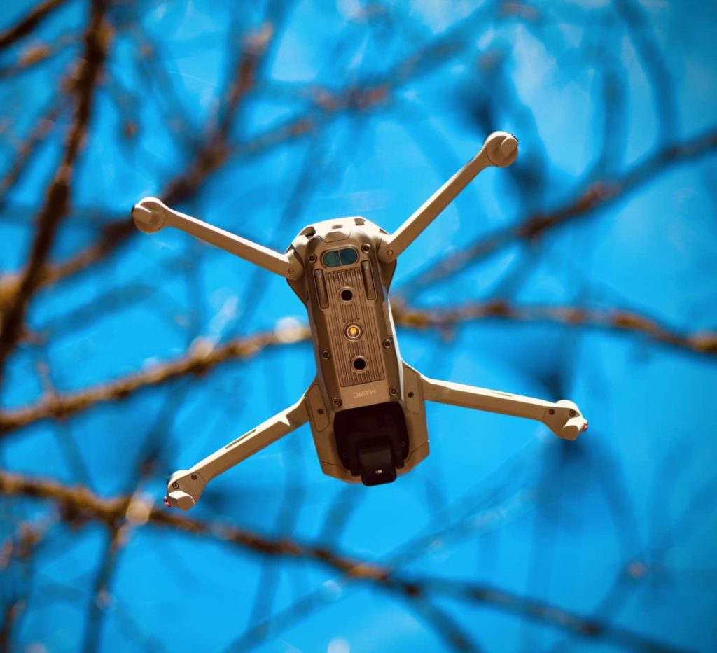
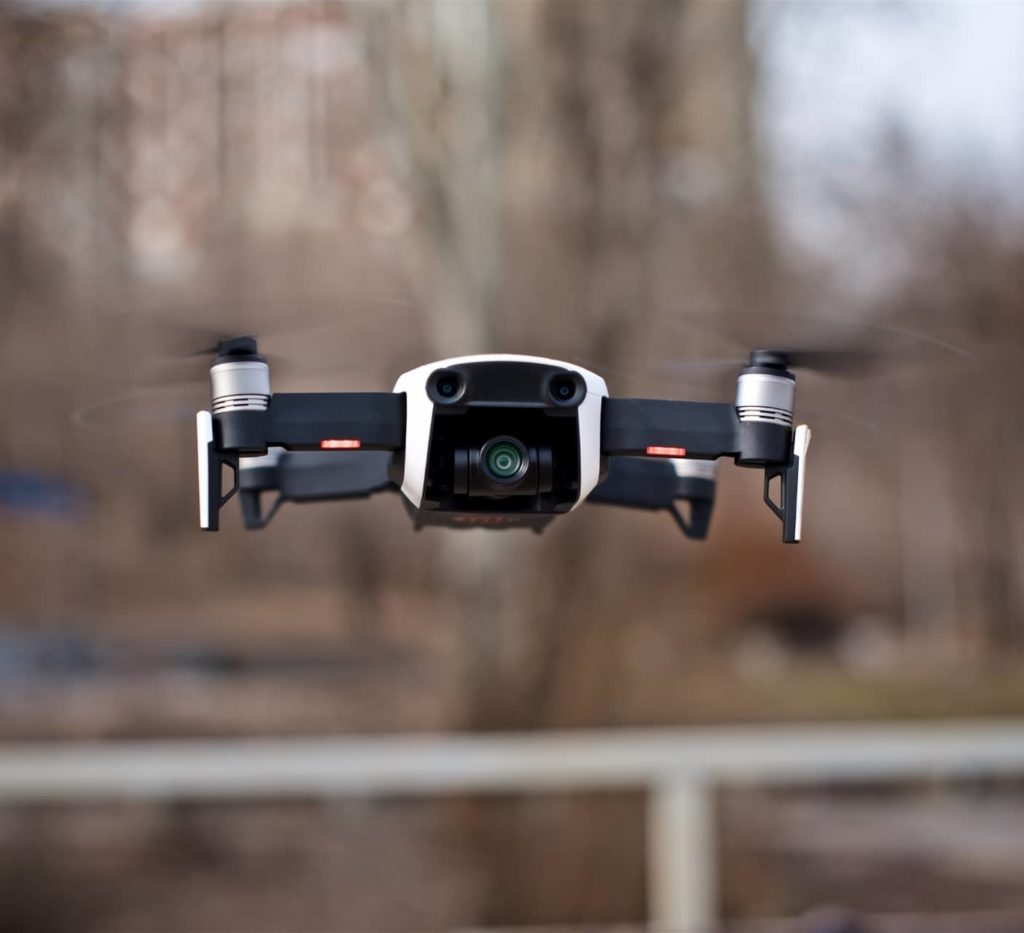
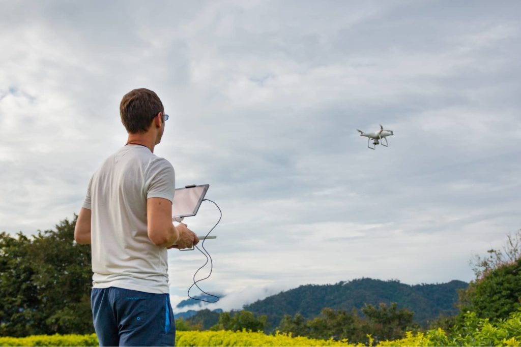
Traditionally, photogrammetry required manned aircraft, which had limitations in terms of accessibility, cost, and safety. Drones, or Unmanned Aerial Vehicles (UAVs), have become a game-changer in this arena. Equipped with high-resolution cameras and advanced sensors, they can capture intricate details from unique angles, creating high-quality, geographically accurate images. This makes them invaluable tools for applications where precision, detail, and efficiency are of utmost importance.
The Magic of Photogrammetry
By using complex algorithms to analyze overlapping images taken from different viewpoints, photogrammetry creates a 3D representation of the area captured. This technology transforms flat, 2D images into precise, multi-dimensional models, which can be used for numerous practical applications.
Revolutionizing Industries
Photogrammetry, especially when combined with the agility and versatility of drones, is revolutionizing numerous sectors.
Construction and Infrastructure: From planning to progress monitoring and inspections, drone photogrammetry aids in making these processes more efficient. High-resolution 3D models allow project managers to detect issues early, make data-driven decisions, and keep stakeholders informed.
Agriculture: Drones can survey large tracts of land quickly, providing valuable insights to farmers. They can identify crop health, irrigation issues, and estimate yields, making farm management more effective and profitable.
Real Estate: Drone photogrammetry is becoming an indispensable tool for property developers and realtors. It can provide breathtaking aerial visuals, 3D models of properties, and topographical data, offering potential buyers an immersive, detailed view.
Environmental Studies: Photogrammetry assists in the creation of accurate digital terrain models and topographic maps, aiding in environmental research, disaster management, and urban planning.
Our Commitment to Innovation
As a leading drone photogrammetry company, we are committed to harnessing the power of this transformative technology to deliver unparalleled service to our clients. We continually invest in state-of-the-art equipment, software, and training to ensure that our team can provide precise, reliable, and efficient photogrammetry solutions.
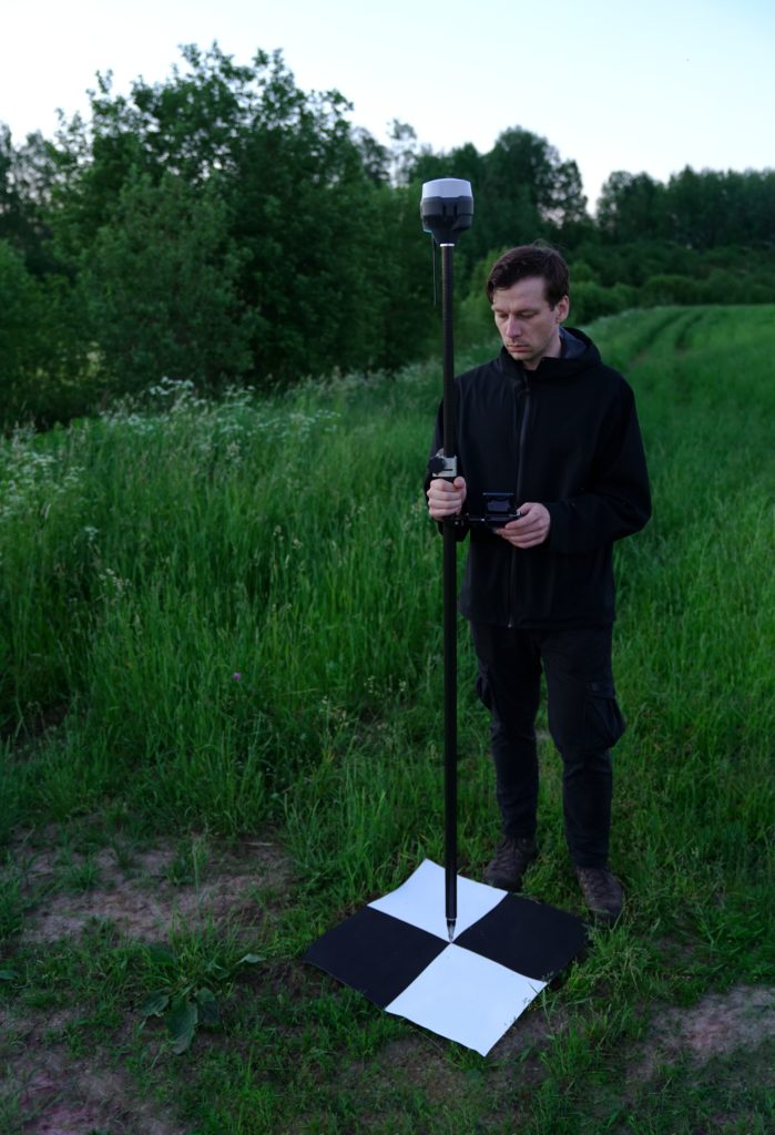
We also take pride in our strong commitment to safety and compliance with aviation regulations. All our drone operations are performed by certified and experienced pilots who prioritize safety and respect for privacy above all else.
Conclusion
In the age of digital transformation, drone photogrammetry is more than just a technological advancement; it is an innovative solution to the growing need for precise, efficient, and cost-effective aerial imaging. As we continue to innovate and refine our services, we are excited to help our clients explore new possibilities and achieve their objectives through this revolutionary technology.
The sky is no longer the limit; with drone photogrammetry, it’s just the beginning. Join us in this exciting journey as we soar to new heights together.
 (3)")